Carepa, Antioquia, Colombia
Suggest Place to Visit
1077
Track to location with GPS |
 |
This municipality, called by its neighbors "Emporio de Riqueza" or "Model Municipality of Urabá", derives its name from the language of the indigenous people of the region, Catíos Embera, in whose language "carepa" means parrot.
Previously it was called Playa Veracruz. It was not until 1950 that the official foundation of Carepa took place on the land of a citizen known as Ramón “El Ronco” Jaramillo. The settlement grew with the largest influx of settlers who came from the neighboring towns of Cañasgordas, Peque, Frontino, Dabeiba and others. In 1983, Carepa acquired the category of municipality according to ordinance 7 of December 15 of that year.
Today, 2006, it is home to important military bases. Similarly, in the district is the Antonio Roldán airport, which serves the entire surrounding sub-region, and there is also the Zungo pier, from where bananas are exported.
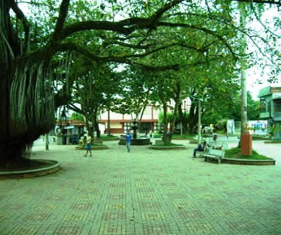
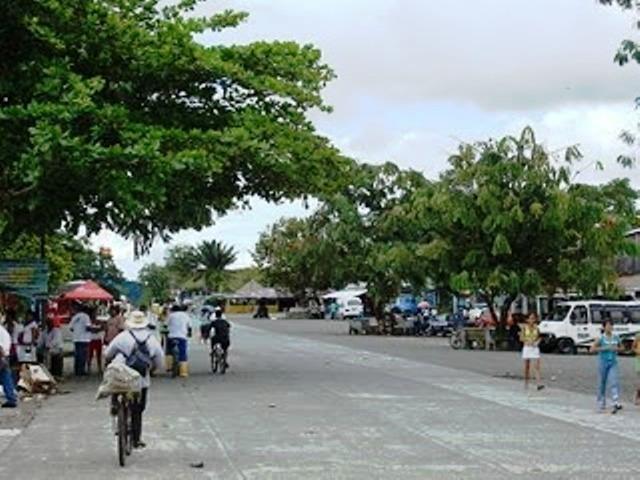
Its people are happy and in its streets you can feel the coastal idiosyncrasy mixed with that of the Antioqueños from the interior, generating a great artistic and cultural wealth.
Appellative: Wealth Emporium and Model Municipality of Urabá.
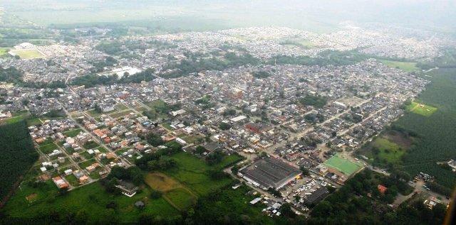
Administratively, the district is divided into three townships, Zungo, Piedras Blancas and Embarcadero, and has 28 trails. It is connected by road with the municipalities of Apartadó and Chigorodó, and has a small airport.
Carepa is a municipality of Colombia, located in the Urabá subregion in the department of Antioquia. It limits to the north with the municipality of Apartadó, to the east with the department of Córdoba, to the south with the municipality of Chigorodó and to the west with the municipality of Turbo. Its head is 317 kilometers from the city of Medellín, capital of the department of Antioquia. Its area is 380 square kilometers.
Demography
Total Population: 47,884 inhab. (2009)
Urban Population: 34,511
Rural Population: 13,373
Economy
Agriculture: corn, cassava, beans, banana, fruit trees, bread
Intensive banana export
Cattle
Commerce
Parties:
Festivities of the Virgen del Carmen, July 16
Corralejas March 27 to 29
Festivities of san francisco de asís or san pachito
Places of interest:
Parish Church San Isidro Labrador, formerly called La Playa, inaugurated in 1974 and currently under construction the San Martín de Porres church
Natural heritage:
Zungo Pier
Town of Piedras Blancas
Carepa River.
Comments
We don´t have yet any comments about:
Carepa
Carepa
Be the first to leave a comment as it is very important to inform other people
Outros locais a visitar
Within a radius of 20 km from:Carepa
Chigorodó |
| 10,3 Km |
 |
Despedaçado |
| 14,1 Km |
 |
Hotel reservation near Carepa within a radius of 20 km
Why to book with ROTAS TURISTICAS
The best prices
Our partnerships with the world´s largest operators offer research on the best market prices.
More options
At Rotas Turisticos you can book the hotel, buy the air ticket, book the transfer from the airport to the hotel and vice versa, book the local excursions, rent the car, take travel insurance and consult the places to visit and where to go.
Holiday Tips & Destinations
Hundreds of holiday destinations with all the options that allow you to easily choose the destination that best suits your dream vacation.
ROTAS TURISTICAS
Links


