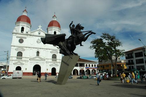
Rionegro, Antioquia, Colombia
Suggest Place to Visit
1349
Track to location with GPS |
 |
According to Fray Pedro Simón, Lieutenant Álvaro de Mendoza, commissioned by his captain Jorge Robledo, was the first Iberian to discover the Rionegro Valley on September 2, 1541. Fray Pedro Simón assures that the tenant will only go to the region from where today The Pantanillo River runs and since then it has been given the name of Rionegro.
Later, the governor of Popayán, Sancho García del Espinar, boiled mercy from the lands to Juan Daza, who would become the first foreign settlement in the Valley. This space of illustrious design, took possession of the steps that have been awarded on November 8, 1581 and according to the rituals of the laws of the Indians according to their realities in the Valley, the sword on the sword, the sword. , he built a ranch where he lived and retouched people who wanted to oppose such an act.
The San Nicolás Valley acquired a rapid growth with the animals of Santiago de Arma, which here will be flooded by the beauty of the productive Valley and the wealth of its mines; as well as welcoming migrants from the Aburrá Valley and Antioquia. With all of them, the population quickly settled into a rich colony. Over time, more or less in 1642, a chapel dedicated to Saint Nicholas the Great emerged.
The prosperity of the San Nicolás settlement motivated its autonomy, which was achieved with the transfer of the City of Santiago de Arma, the city that always fell into decline due to water scarcity, the explosion of its stands and the production of its mines. . Rionegro, with the transfer of Arma, the inheritance in his name, his insignia and royal titles.
King Carlos III, by means of a note issued in the Palacio de San Idelfonso on September 25, 1786, approved the transfer from Santiago de Arma de Rionegro, with all the privileges, weapons and titles.
Possibly, the first name with which Rionegro was known as ´´La Montaña´´, then it appeared in the names of: San Nicolás, Valle de Rionegro and Rionegro. With the transfer of Arma to Rionegro and despite the fact that José Miguel Pulido was arrested, he asked for the name of ´´City of Señor San Nicolás de Arma´´. Governor Francisco Silvestre, aware of the legislation, requested the name ´´Santiago de Arma de Rionegro´´. The Viceroy as a name, always saying "The City of Santiago de Arma de Rionegro" as an expression in the name of the governor of the Royal Decree of 1786 confirms the requested name.
Insurrection of the Guarne community
During the 18th century, several social movements took place, among them the Guarne community insurrection, originated by the implementation of fiscal reforms promulgated by the visiting regent Juan Francisco Gutiérrez de Piñerez. The event took place on June 17, 1781 and lasted until July 16; In it, 300 men with swords, sabers, machetes and pikes, arrived in Rionegro to demand compliance with their demands.
Independence of Antioch
To consolidate the break with Spain, Antioquia promulgated the Declaration of Independence on August 11, 1811. In 1813, the Antioqueños had an invasion of the spaces and named Juan del Corral dictator of the State of Antioquia for which he prepared the defense.
During the government of Juan del Corral in Rionegro, the emergence of periodicity led to the beginning of the operation of the first printing press in Antioquia, and the foundation by José de Caldas of a higher artillery in which machinery for the Casa de la Moneda de Medellín, he cast cannons and rifles to equip the liberated armies and trained the young pilgrims who would enter from an early age to form armies.
On August 28, 1819, José María Córdova yielded Rionegro and appointed José Manuel Restrepo as the civil chief of the military commander. While he was nominated by Bolívar as Governor, he commanded the Battalion of Cazadores de Antioquia and on February 12, 1820 he defeated Spanish Colonel Francisco Warleta in Chorrosblancos (street located in the municipality of Yarumal), who wanted to take over Bogotá and open a corridor strategic from Cartagena to Quito and Lima. With this event, Córdoba achieved the total independence of the province.
Battle of the Cascajo
Produced by a great state of dissent from the opposition in Antioquia, at the end of 1863, a revolutionary movement led by General José María Gutiérrez Echeverri came out on December 7 and became the Plaza de Abejorral. Later, on April 2, 1864, Colonel Pedro Justo Berrío in a tough fight if he seized the Yarumal settlement.
Pascual Bravo, then president of the State of Antioquia, attacked his opponents in the hills of Cascajo on April 4, 1864, but was defeated and changed in Marinilla. This combat is known in the history of Antioquia as the Battle of Cascajo.
Pascual Bravo was born in Rionegro on July 2, 1838, he was a military man, statesman and writer. Upon assuming the presidency of the State of Antioquia in La Morada, he turned 25 years old.
Rionegro Convention
On February 3, 1863, he met in Rionegro at the preparatory table for the National Convention presided over by the Governor of the State of Antioquia and Dr. Antonio Mendoza. The Governor arranged the installation for the next day.
The Constitutional Charter issued by that Convention has been considered a symbol of 19th century liberal thought, with its revolutionary gaze of absolute freedom and humanitarian justice.
It was in this Constitution where the regional interest bore the best fruit, promoting the work of common service and controlling the investment made and the conduct of the employees.
The Rionegro Convention exhibited the new Political Constitution, an institution of the Confederation of the United States of Colombia, integrated with the Confederation of Granadina, and the State of Tolima created in revolutionary journeys.
Rionegro is part of the Eastern Altiplano sub-region that is made up of the Municipalities of El Retiro, La Ceja, La Unión, El Carmen de Viboral, El Santuario, Marinilla, Guarne, San Vicente and Concepción.
Limits of the Municipality of Rionegro
North: Guarne and San Vicente
South: La Ceja
East: Marinilla and El Carmen de Viboral
West: El Retiro, Envigado and Medellín
Northeast: San Vicente
Northwest: Envigado and Medellín
Geographical position
The Municipality of Rionegro is located at 6º 9´ 18´´ north latitude and 75º 22´ 48´´ longitudinal west of the Greenwich meridian, at a height of 2.125 m.s.n.m.
The City of Santiago de Arma de Rionegro was discovered on September 2, 1541 by Lieutenant Álvaro de Mendoza, who was under the command of Jorge Robledo. Since then, the Municipality of Rionegro has been known by the names of “La Montaña”, “San Nicolás”, “Valle de Rionegro”, “Rionegro”, and finally, according to the Royal Ballot issued by Governor Francisco Silvestre in 1786, the Municipality of the city of Santiago de Arma de Rionegro, where the image of the Virgin of Santiago de Arma is transferred to the Cathedral of San Nicolás el Magno.
The name of Rionegro
The name of Rionegro dates back, possibly to the year 1541, when Lieutenant Álvaro de Mendoza was commissioned by his captain Jorge Robledo, but he also explored the eastern region of the Aburrá Valley, as well as the existence of a river with calm waters that goes through. jungle and dark and dark, in addition to the name of Río Negro for its appearance. More similar, the pool that forms in the valley of this river is under the name of San Nicolás de Rionegro. In 1783, when the image of the Virgin of the Conception was transferred from the City of Santiago de Arma to the Rionegro Valley, it took the name of Santiago de Arma de Rionegro.
On an economic level, the Municipality of Rionegro has been very important for the department of Antioquia as it is the economic and social center of the Oriente subregion. Historically, this subregion has been very important in its development, since it has the same style that Urabá Antioqueño has about 8% of the added value of Antioquia.
Rionegro stands out in the subregion, for being located in a strategic place, which allows it to be used around the Aburrá Valley, a subregion that contributes 69.8% of the departmental added value, which has given it the possibility to appeal diverse socioeconomic processes, and the growth of its productive and labor apparatus. Also, for having an excellent endowment at the level of physical, road, tourist, cultural and educational infrastructure.
For this reason, Rionegro, with respect to other municipalities in Eastern Antioquia, has a greater number of population, companies, educational and health services, transportation, among others. The Altiplano is the most developed area of the subregion, concentrating around 66.6% of the population and 92% of the economic activity.
Likewise, Rionegro and Guarne is a communication link between the East and the capital of the department, with the country and the world, since there it has been located at the José María Córdova Airport, the most used system for loading and handling cargo. international passengers from the entire department.
In Rionegro, there are export sectors such as agriculture, industrial and commercial, in which products such as flowers and paper stand out.
Communication routes
One of the peculiarities for Rionegro to be part of the development of the region is its strategic location in relation to the capital of the department, which allows it to explore its socioeconomic processes and establish communication with other municipalities of the department and all regions of the country to through the most important arteries of the national territory.
The main roads
Medellín - Santafé de Bogotá highway: It is communicated throughout the national road system.
Las Palmas - Don Diego - Rionegro: Communicates the municipality with the Aburrá Valley.
Medellín - Santa Elena: Communicates the municipality with the Aburrá Valley.
At the regional level, it communicates with departmental wagons to the different municipalities with which it is related.
Air Transport
The José María Córdova Muñoz International Airport is located in Rionegro, one of the most modern and strategic airports in the nation. This was inaugurated on August 27, 1985. It is considered that the airport has given an important dynamic to the development of Rionegro and the region through flows of information, goods and services at the national and international level.
Festivities of industry, crafts and crafts It takes place in the month of the diction
Patron Festivities of Our Lady of the Rosario de Arma between August and September.
Patron Festivities of Our Lady of Chiquinquirá Classic on June 5 and 6 Vereda El Tablazo - Rionegro
Empanada August festivities
Rionegro Love Day December 6
San Nicolás Festivities In the same month of the Municipalities of Oriente Antioqueño
International Cartoon Festival held in November
Exaltation of rural women Last month of the month
Aeronautical Fair: F-Air Colombia. It takes place in June at the José María Córdova Airport
Valid for Bicicross It takes place in May
Stores held in April
Regional Congress of Merchants. October 21 Club Llano Grande.
ExpoComercio is held at the Eastern Antioqueño Chamber of Commerce
Comments
We don´t have yet any comments about:
Rionegro
Rionegro
Be the first to leave a comment as it is very important to inform other people
Outros locais a visitar
Within a radius of 20 km from:Rionegro
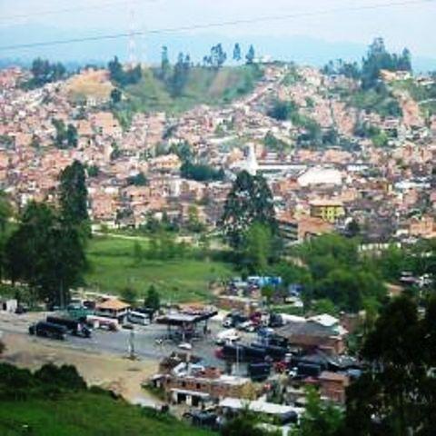
Marinilla |
| 4,9 Km |
 |
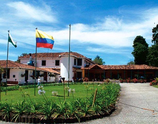
Clube la Macarena |
| 6,8 Km |
 |
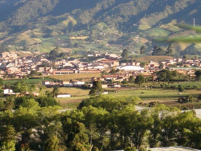
El Carmen de Viboral |
| 9,0 Km |
 |
Sobrancelha |
| 15,1 Km |
 |
Parque Arvi |
| 15,6 Km |
 |
Hotel reservation near Rionegro within a radius of 20 km
Why to book with ROTAS TURISTICAS
The best prices
Our partnerships with the world´s largest operators offer research on the best market prices.
More options
At Rotas Turisticos you can book the hotel, buy the air ticket, book the transfer from the airport to the hotel and vice versa, book the local excursions, rent the car, take travel insurance and consult the places to visit and where to go.
Holiday Tips & Destinations
Hundreds of holiday destinations with all the options that allow you to easily choose the destination that best suits your dream vacation.
ROTAS TURISTICAS
Links


